- Home
- About Us
- Products
- Services
- 3D Scanning Services
- 3D Inspection Service
- Reverse Engineering Services
- Lieca 3D Laser Tracker Services
- 3D Plant Scanning
- CNC Machine Laser Calibration Service
- Engineering Analysis And Simulation Services
- 3D Printing Service
- CAM Milling Services
- CAM Turning Services
- Software Sales
- Education / Training
- Statue Of 3D Scanning Services
- RTC 360 Plant & Refinery Scanning Services
- CNC Machine Laser Calibration & Operating Service
- Best 3D Printing Service
- Updates
- Gallery
- Contact Us
3 Results found for "Digital Survey"
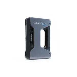
Drone Scanning Service In Kota
Providing drone scanning service in Kota, we focus on clear data capture and precise survey results. We aim to help clients get quick site surveys with good detail. Drone scanning cuts time and risk for inspections in tough places.Planning drone scans starts with understanding the terrain and obstacles. We map out flight paths before operations to avoid surprises. Safety checks come first; drones must fly within set rules, especially near urban o ... Continue
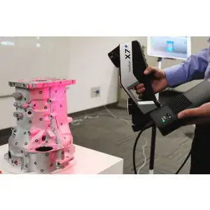
3D Lidar Scanning Service In Patna
Choosing the right partner for 3D Lidar scanning in Patna shapes project outcomes. We handle the full measurement governance lifecycle, tracking data from capture through processing and final use. This helps avoid errors and keeps results consistent across different teams.Measurement governance is not just about tools; it's a whole system managing quality over time. Scanning on site can face challenges like dust or limited space, but with proper ... Continue
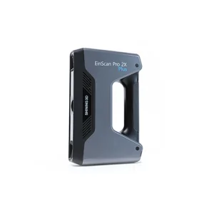
3d Terrestrial Scanning Service In Ranchi
3D terrestrial scanning service offered at Ranchi focuses on delivering precise and practical results with every project, helping clients trust in steady and accurate data capture. The service uses portable and fixed scanning systems to cover large outdoor areas efficiently. We apply laser technology to get detailed 3D point clouds of structures, terrains, and environments, capturing complex geometries quickly.The challenge often lies in handling ... Continue