- Home
- About Us
- Products
- Services
- 3D Scanning Services
- 3D Inspection Service
- Reverse Engineering Services
- Lieca 3D Laser Tracker Services
- 3D Plant Scanning
- CNC Machine Laser Calibration Service
- Engineering Analysis And Simulation Services
- 3D Printing Service
- CAM Milling Services
- CAM Turning Services
- Software Sales
- Education / Training
- Statue Of 3D Scanning Services
- RTC 360 Plant & Refinery Scanning Services
- CNC Machine Laser Calibration & Operating Service
- Best 3D Printing Service
- Updates
- Gallery
- Contact Us
Drone Scanning Service In Ahmedabad
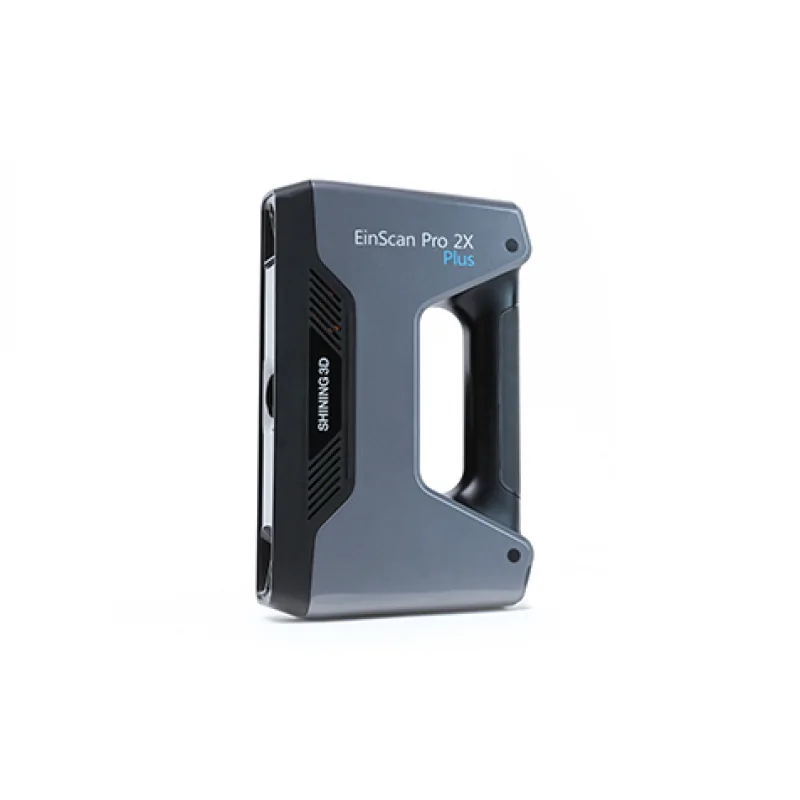
Details of EinScan-Pro 2X Plus
Drone scanning service in Ahmedabad responds fast and well, cutting downtime caused by slow or weak providers elsewhere. Using drones helps capture detailed spatial data from hard-to-reach places without risking people or wasting time.
This method lets us map large sites quickly, with good accuracy that supports inspection and planning. We gather visual and thermal data together; it helps catch problems early before they grow worse. Our tools also work well under different weather conditions common around Ahmedabad, so projects don't halt unexpectedly.
Performance That Fits Your Needs
The data we collect feeds directly into digital models for design, analysis, and maintenance tasks. It works well with CAD and BIM software clients already use—no extra steps needed. Our workflows reduce errors seen in manual surveys plus speed up site checks by several times. The real gain is cutting project delays caused by uncertain measurements.
Beyond just scanning, we analyze results to highlight risk spots or areas needing immediate attention. Clients get clear reports without needing specialized skills to interpret raw drone images themselves (which is often a bottleneck).
Your Long-Term Growth Partner
We don’t just hand over files then disappear; we stick around to update scans as plants change over years. This ongoing support builds trust because clients know their data stays fresh without buying new equipment or training staff for every update cycle.
Offered Product

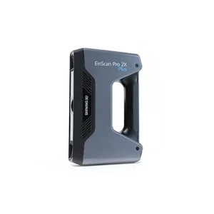
EinScan-Pro 2X Plus
All In One Versatility : Offer Both Portability And High-accuracy Because Of Its Four Versatile Operating Modes. Multi-applications : Create An Accurate, 3D Printable Model Of Existing Physical Objects—whether It Be An Industrial Part, A Sculpture, A Delicate Family Heirloom, An Antique Toy, A Hard-to-find Replacement Part For Your Tool Kit Or Even A Scan Of Your Own Body Parts.High Speed : In The Handheld Scan Mode, The Scan Speed Is 10 Fps (frames Per Second) And In The Automatic A... Read moreDrone Scanning Service In Kota
Providing Drone Scanning Service In Kota, We Focus On Clear Data Capture And Precise Survey Results. We Aim To Help Clients Get Quick Site Surveys With Good Detail. Drone Scanning Cuts Time And Risk For Inspections In Tough Places.Planning Drone Scans Starts With Understanding The Terrain And Obstacles. We Map Out Flight Paths Before Operations To Avoid Surprises. Safety Checks Come First; Drones Must Fly Within Set Rules, Especially Near Urban Or Industrial Zones. Weather Can Halt Flights—win Continue
Drone Scanning Service In Visakhapatnam
Providing Secure And Reliable Drone Scanning Service In Visakhapatnam Is Key To How We Handle Every Project. We Keep Data Safe And Take Care Not To Expose Client Information While Capturing Precise Aerial Scans.Site Conditions Vary A Lot Around Visakhapatnam. Some Areas Are Coastal With Salty Air, Others Have Dense Industrial Zones With Metal Structures That Can Interfere With Signals. These Factors Affect Drone Operation Time And The Quality Of Scan Data, So We Study Each Site Before Deploying Continue
Drone Scanning Service In Indore
Offering Expert Drone Scanning Service In Indore, We Commit To Maintaining High Standards And Prompt Execution For All Client Requirements. We Handle Complex Site Surveys Using Drones Equipped With High-resolution Sensors And Cameras, Which Helps Reduce Manual Effort And Speeds Up Data Collection. Our Teams Work Closely With Clients To Meet Tight Deadlines While Delivering Precise Aerial Scans.Then There’s The Environmental Impact Of Traditional Surveying Methods—manual Inspections Often Req Continue