- Home
- About Us
- Products
- Services
- 3D Scanning Services
- 3D Inspection Service
- Reverse Engineering Services
- Lieca 3D Laser Tracker Services
- 3D Plant Scanning
- CNC Machine Laser Calibration Service
- Engineering Analysis And Simulation Services
- 3D Printing Service
- CAM Milling Services
- CAM Turning Services
- Software Sales
- Education / Training
- Statue Of 3D Scanning Services
- RTC 360 Plant & Refinery Scanning Services
- CNC Machine Laser Calibration & Operating Service
- Best 3D Printing Service
- Updates
- Gallery
- Contact Us
3d Terrestrial Scanning Service In Navi Mumbai
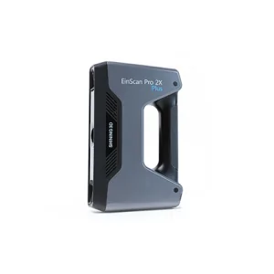
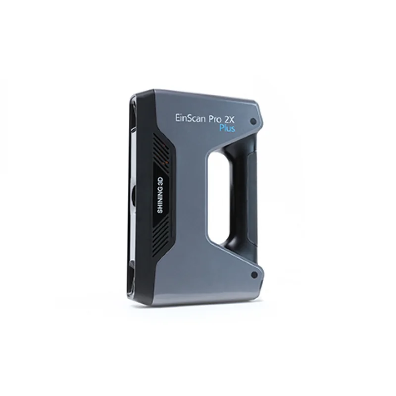
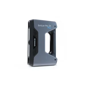
Details of EinScan-Pro 2X Plus
We offer straightforward 3D terrestrial scanning services across Navi Mumbai, built to handle your site and project needs with strong attention to detail and fast delivery. Our scanning setups capture large-scale environments and complex structures with precision that matches industrial demands.
Managing engineering data through its full lifecycle is tough. We work on linking scans directly into engineering workflows so teams can use accurate point clouds for design updates, quality checks, or simulation inputs without delays or errors creeping in from manual data handling. This cuts rework and makes decisions more reliable over the project span.
Good governance means setting clear rules on scan data collection, storage, and access. We help define these standards so you control who touches sensitive data, how it’s archived, and when it gets reviewed. That kind of structure avoids confusion during audits or regulatory reviews while keeping the scan info ready for later stages like BIM modeling or retrofit planning.
Beyond just gathering scans, we connect your teams with tech advances that push the limits of what onsite surveys can do—like integrating reality capture with virtual models for real-time walkthroughs or clash detection before physical work starts. It’s about turning raw scan data into active insights that support smarter decisions every day on site and at the desk.
Offered Product

EinScan-Pro 2X Plus
All In One Versatility : Offer Both Portability And High-accuracy Because Of Its Four Versatile Operating Modes. Multi-applications : Create An Accurate, 3D Printable Model Of Existing Physical Objects—whether It Be An Industrial Part, A Sculpture, A Delicate Family Heirloom, An Antique Toy, A Hard-to-find Replacement Part For Your Tool Kit Or Even A Scan Of Your Own Body Parts.High Speed : In The Handheld Scan Mode, The Scan Speed Is 10 Fps (frames Per Second) And In The Automatic A... Read more3d Terrestrial Scanning Service In Belgaum
We Commit To Performing The Best Possible 3d Terrestrial Scanning Service In Belgaum, Where Every Step Is Planned Carefully To Manage Risks And Support Lasting Success. The Process Starts With Precise Setup And Calibration Of Equipment On-site, Making Sure Each Scan Captures Exact Data Needed For Client Projects. Belgaum's Terrain Challenges Us To Adapt Quickly Without Losing Accuracy.Advanced Survey Data Lifecycle Monitoring Systems Track The Collected Data From Capture Through Processing To De Continue
Drone Scanning Service In Thane
We Focus On Delivering High-quality Drone Scanning Service In Thane, Helping Clients Get Precise Data Fast. The Technology Cuts Down Time Spent On Manual Surveying And Captures Details Hard To Reach By Traditional Methods. Drone Scanning Offers A Better View For Infrastructure Inspection, Land Surveys, And Construction Progress Monitoring.Using Drones Means Teams Spend Less Time In Risky Spots And Can Cover Large Areas Quicker. It Also Lets Engineers Check Structures From Angles That Are Difficu Continue
3d Terrestrial Scanning Services Baroda
At Sun Cad Baroda, We Provide 3D Terrestrial Scanning Services For Industries, Infrastructure Projects, And Heritage Documentation. We Use Modern Terrestrial Laser Scanners To Capture Precise 3D Point Cloud Data, Creating Detailed Digital Models Of Buildings, Plants, Landscapes, And Monuments. Our Services Help Clients Minimize Errors, Save Time, And Improve Accuracy In Design, Planning, And Construction Workflows. With Over 20 Years Of Experience In CAD, CAM, CAE, And 3D Technologies, Sun Cad G Continue