- Home
- About Us
- Products
- Services
- 3D Scanning Services
- 3D Inspection Service
- Reverse Engineering Services
- Lieca 3D Laser Tracker Services
- 3D Plant Scanning
- CNC Machine Laser Calibration Service
- Engineering Analysis And Simulation Services
- 3D Printing Service
- CAM Milling Services
- CAM Turning Services
- Software Sales
- Education / Training
- Statue Of 3D Scanning Services
- RTC 360 Plant & Refinery Scanning Services
- CNC Machine Laser Calibration & Operating Service
- Best 3D Printing Service
- Updates
- Gallery
- Contact Us
EinScan-Pro 2X Plus Rajkot


Details of EinScan-Pro 2X Plus
Blue Laser Handheld 3D Scanner – FreeScan UE
The FreeScan UE is a next-generation blue laser handheld 3D scanner from the renowned FreeScan series. Known for its metrology-grade accuracy and precision, it delivers highly reliable 3D scanning results for industries where quality and detail matter the most.
With its ergonomic and lightweight design, the FreeScan UE is easy to hold and operate, ensuring comfort even during long scanning sessions. It provides high-accuracy inspection solutions across a wide range of industries, including:
Automotive & Transportation
Aerospace & Aviation
Moulding & Tooling Inspection
Energy & Power Generation
Machinery & Manufacturing
At Suncad, we utilize the FreeScan UE to ensure top-tier 3D scanning and inspection services, helping clients achieve precise measurements, quality assurance, and seamless integration into their design and production workflows.
Do you also want me to make this SEO-optimized with keywords like 3D scanner in India, metrology-grade scanning, FreeScan UE by Suncad so it performs better for your website?
Offered Product

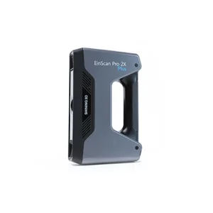
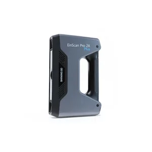
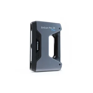
EinScan-Pro 2X Plus
All In One Versatility : Offer Both Portability And High-accuracy Because Of Its Four Versatile Operating Modes. Multi-applications : Create An Accurate, 3D Printable Model Of Existing Physical Objects—whether It Be An Industrial Part, A Sculpture, A Delicate Family Heirloom, An Antique Toy, A Hard-to-find Replacement Part For Your Tool Kit Or Even A Scan Of Your Own Body Parts.High Speed : In The Handheld Scan Mode, The Scan Speed Is 10 Fps (frames Per Second) And In The Automatic A... Read more3d Terrestrial Scanning Service In Greater Noida
Responsibility For Delivering High-quality 3D Terrestrial Scanning Service In Greater Noida Rests On Practical Experience Combined With An Understanding Of Local Business Conditions. We Handle Complex Spatial Data Collection Using Ground-based Laser Scanners To Capture Precise Geometry And Surface Details For Various Industrial And Infrastructure Projects. The Process Demands Careful Planning To Cover All Critical Areas While Managing Time And Resource Constraints Common In Urban Environments.Ou Continue
Drone Scanning Service In Vadodara
Missed Deadlines Or Subpar Work From Other Providers Of Drone Scanning Service In Vadodara Can Cause Setbacks; Our Focus Is On Reliability And Accuracy At Every Step. We Handle Projects With Timely Data Capture And Precise Processing To Avoid Delays. Drone Scanning Brings Speed But Also Requires Skilled Operation To Get Consistent Results.Drone Scanning Works Best When Site Conditions Are Documented Properly Before Flights. Clear Weather, Proper Ground Control Points, And Detailed Flight Plans A Continue
3d Terrestrial Scanning Service In Ranchi
3D Terrestrial Scanning Service Offered At Ranchi Focuses On Delivering Precise And Practical Results With Every Project, Helping Clients Trust In Steady And Accurate Data Capture. The Service Uses Portable And Fixed Scanning Systems To Cover Large Outdoor Areas Efficiently. We Apply Laser Technology To Get Detailed 3D Point Clouds Of Structures, Terrains, And Environments, Capturing Complex Geometries Quickly.The Challenge Often Lies In Handling Uneven Surfaces And Varied Lighting Conditions Ou Continue