- Home
- About Us
- Products
- Services
- 3D Scanning Services
- 3D Inspection Service
- Reverse Engineering Services
- Lieca 3D Laser Tracker Services
- 3D Plant Scanning
- CNC Machine Laser Calibration Service
- Engineering Analysis And Simulation Services
- 3D Printing Service
- CAM Milling Services
- CAM Turning Services
- Software Sales
- Education / Training
- Statue Of 3D Scanning Services
- RTC 360 Plant & Refinery Scanning Services
- CNC Machine Laser Calibration & Operating Service
- Best 3D Printing Service
- Updates
- Gallery
- Contact Us
3d Terrestrial Scanning Service In Chennai
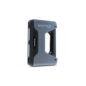
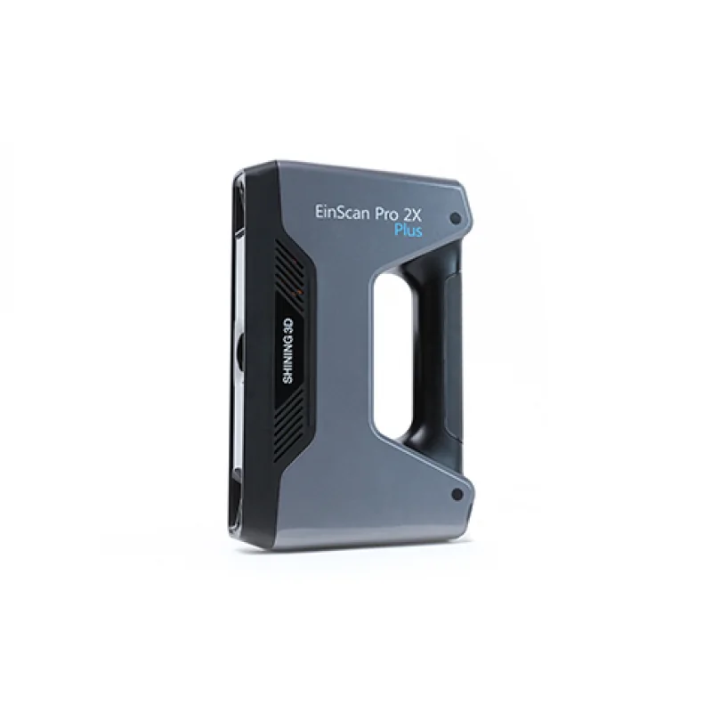
Details of EinScan-Pro 2X Plus
We handle 3D terrestrial scanning in Chennai with a strong focus on accuracy and meeting client needs. Our approach involves using the right tools to capture detailed spatial data, which helps clients make better decisions and speed up project timelines.
There’s always the challenge of site conditions affecting scans. Urban areas can have many obstructions, while industrial zones pose different difficulties like dust or vibration. We adapt our methods accordingly to keep results reliable.
Understanding Core Benefits
| Feature | Description |
|---|---|
| Precision | Cameras and lasers work together to create precise 3D models. |
| Speed | Large areas get scanned quickly without losing detail. |
| Versatility | Useful for construction sites, heritage sites, industrial plants, etc. |
This service is more than just scanning—it’s about transforming real-world objects into digital data that planners and engineers use directly. The ability to map large spaces accurately reduces errors later in design or construction phases (this often goes unnoticed by end users but saves time).
A crucial part we handle is processing point cloud data efficiently; raw scans are huge files requiring cleaning and organizing before anyone can use them for modeling or analysis.
The technology behind this relies on laser scanners mounted on tripods at fixed spots to capture overlapping views from multiple angles. Combined datasets form complete three-dimensional models that help with measurements or visualization.
Comparing Value Factors
| Aspect | Value Offered |
|---|---|
| Error Margin Reduction | Tight tolerances improve final product fitment and reduce rework costs. |
| Project Timelines | Faster data acquisition shortens overall schedules. |
| User Accessibility | < td >Digital models integrate with CAD/BIM platforms easing collaboration across teams.< p >Remote access to site conditions through virtual models also lowers the need for repeated physical visits which means less downtime or disruption on-site.< / p >< p >Starting out in this field demands patience plus attention because each job varies by scale, environment, and objectives. Staying ahead needs ongoing tool upgrades plus skilled operators who know what shortcuts hurt output quality down the line.< p >Getting into this technology now puts us in a position where we lead growth not just locally but beyond Chennai as demand grows across sectors that rely heavily on accurate spatial info—from urban planning through oil refinery maintenance.< / p >